Invermere, BC: August 12, 2015.
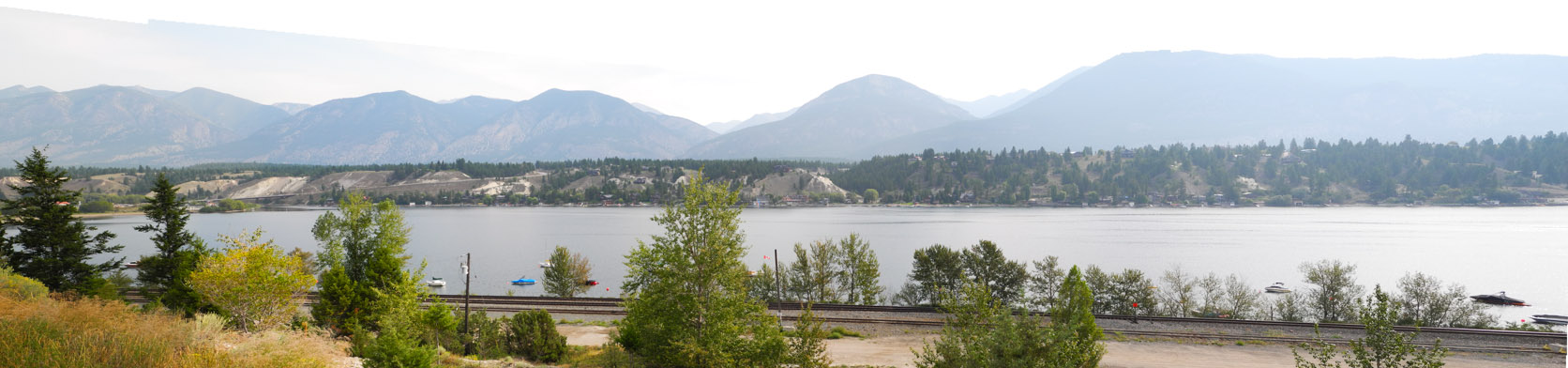
This is a photograph of Lake Windermere. The lake is a wide spot in the Columbia River. The photograph was taken at a point on a level above the lake on the edge of the town of Invermere, BC.
August 12, 2015: On the bank above the Spillmachen River, BC.
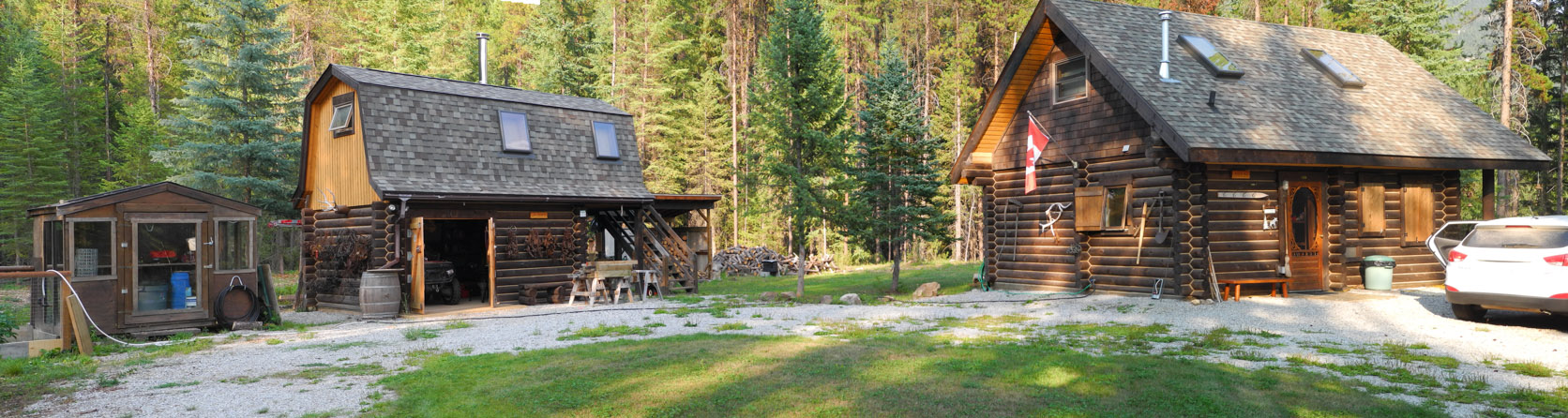
Jeff Baltrus's Cabin on the shore of the river.
The Spillmachen River, August 12, 2015.
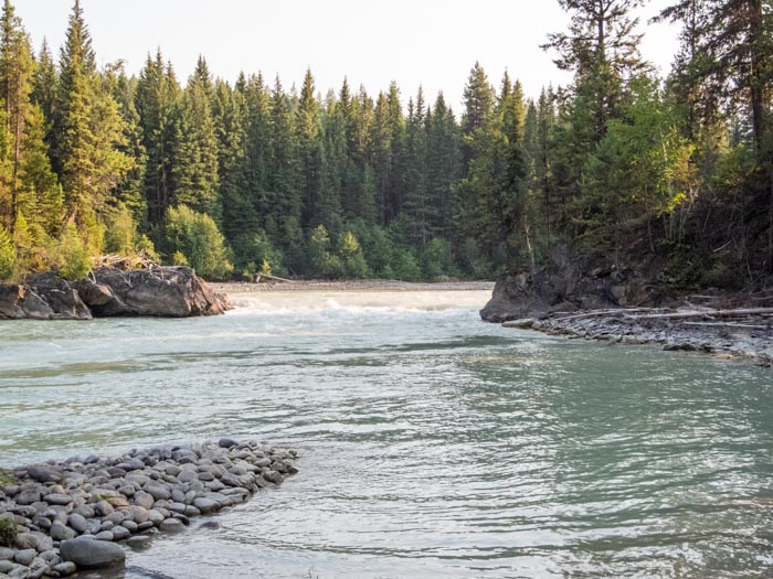
On the shore of the Spillmachen.
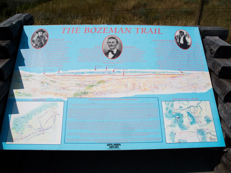
August 19, 2015: A scenic overlook along I-90 near Sheridan WY. We were on our way home.
The overlook provides a view of the general area of a portion of the old Bozeman Trail. No trace of the trail exists today. In this photographs, you are looking to the west.
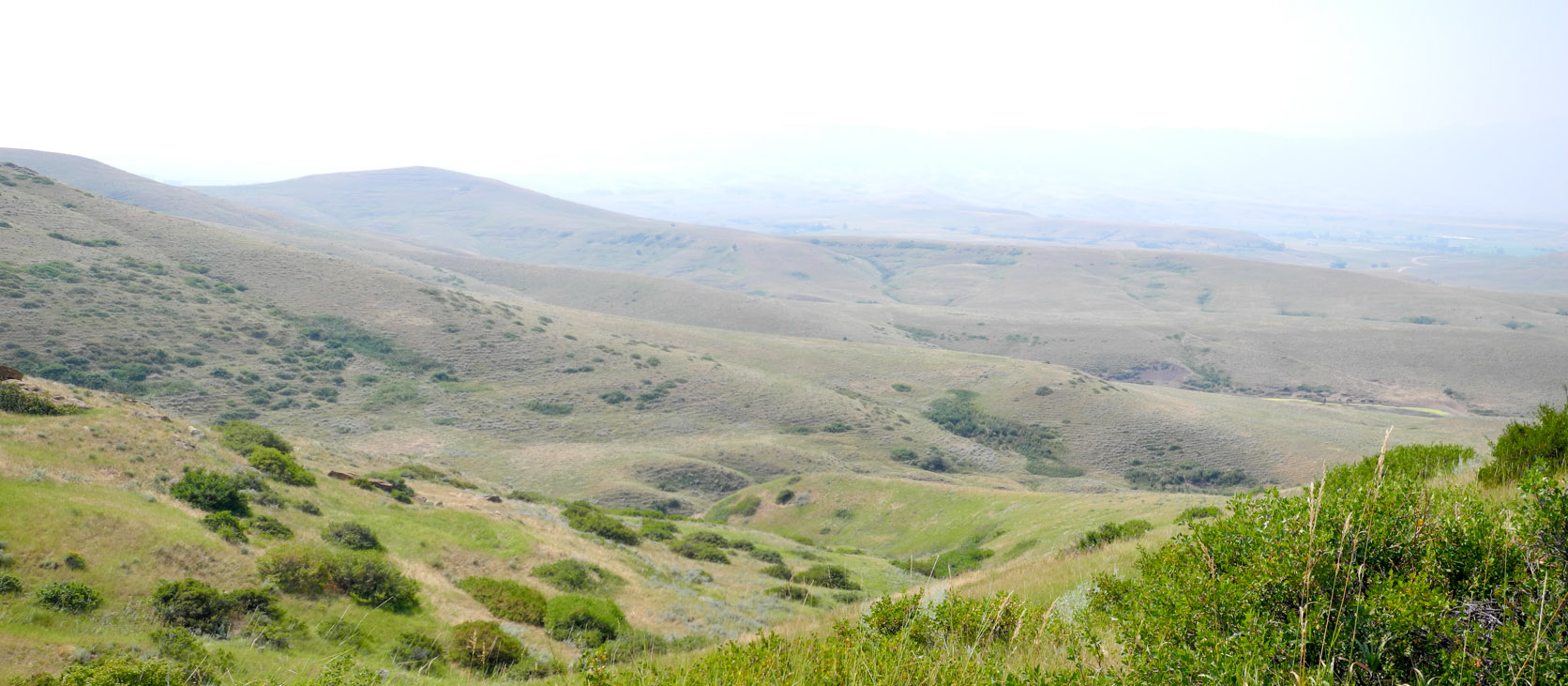
The haze in the photograph is due to smoke from forest fires to the west.
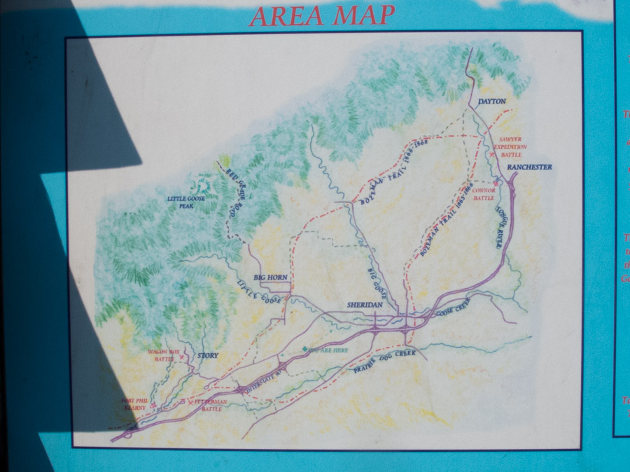
In the above photograph, I-90 is superimposed on a current map of the area.
In this photograph west is up and to the left.
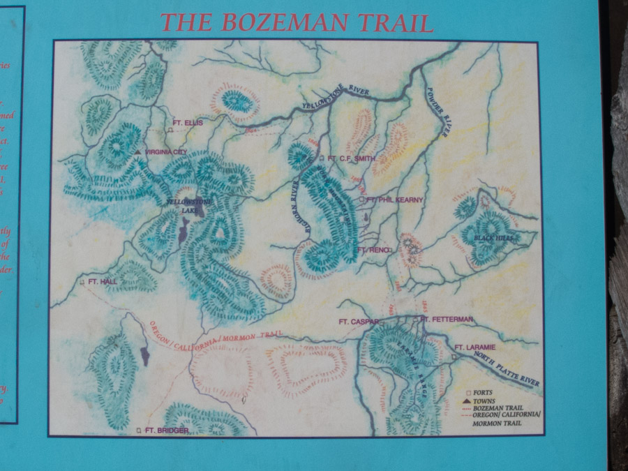
This second photograph is only to general scale. Note that the Black Hills (SD) are shown on the right side middle. Yellowstonre lake is at the left middle of the photograph. Ft. Casper is to the south. The Bozeman trail is a very light dotted line. It begans at either Ft. Fetterman or Ft. Casper. From there it extended generally north to Ft. Reno and Ft. C. F. Smith and then turned west to Ft. Ellis.